To help explore this information, we’ve created the Google Crisis Map, a map viewer with the latest available geographic information. Here’s some more information about the map’s content and features:
- Google Crisis Map always shows the latest, valuable information we've been able to uncover on the most current situation
- You can zoom and pan the map using the on-screen controls, and turn layers of information on or off just by clicking
- You can find out more about the map layers by visiting the linked websites of the content owners
- The site is optimized for mobile, so you can look at the map on a mobile phone as well as your desktop
- You can also share the map, or embed it on your website or blog by clicking share to find the URL and HTML code
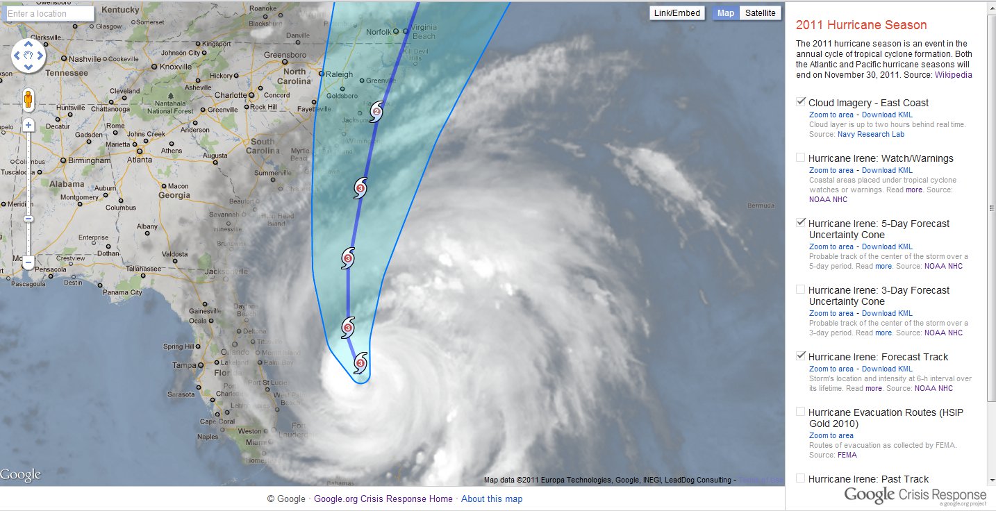
Hurricane Irene map viewer
To provide feedback or comments on the map, or if you’re aware of map layers or other datasets that you would like to see included on our maps, please submit them for our consideration at google.org/crisismap. We’ll continue to update the Crisis Response website with other valuable resources on Hurricane Irene and relevant preparedness tips.
No comments:
Post a Comment