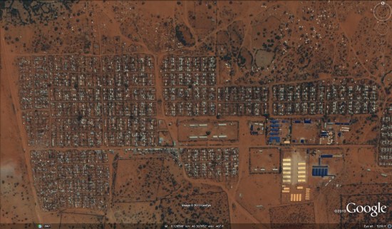
There is currently a severe famine in the Horn of Africa, and it's predicted to get worse in the coming months. To help reach people with the greatest need, Google is trying to assemble more data in the hardest hit areas. To start, GeoEye has been capturing high resolution imagery of various areas that have the greatest need, and the imagery can be explored with this KML file.

Going further, Google is asking users to contribute local data if they are familiar with any of the stricken areas. Any data that can be added, such as roads, schools and hospitals, would be very beneficial. If you're able to help, consider joining their Africa mailing list or check out the Horn of Africa community mapping site.
No comments:
Post a Comment