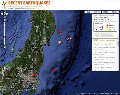

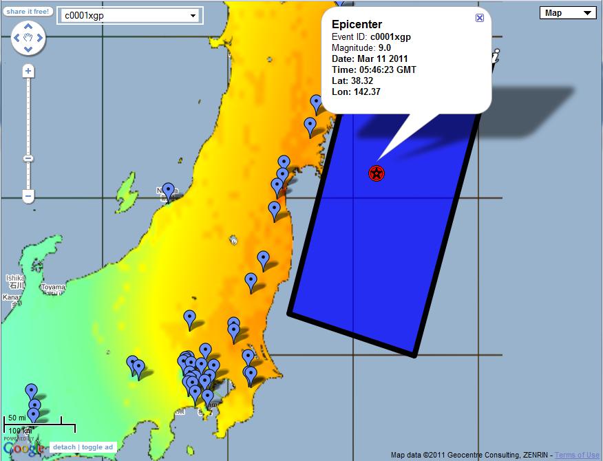
 [Official USGS kmz feed on a map that can be shared]
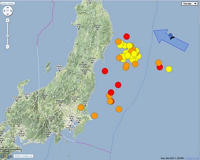
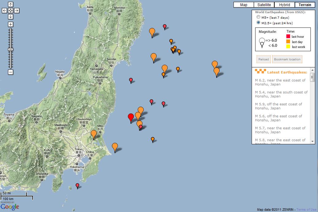 [Many aftershocks happening as shown on this map]
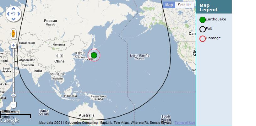 [Gescience Australia estimates of felt and damage radius]
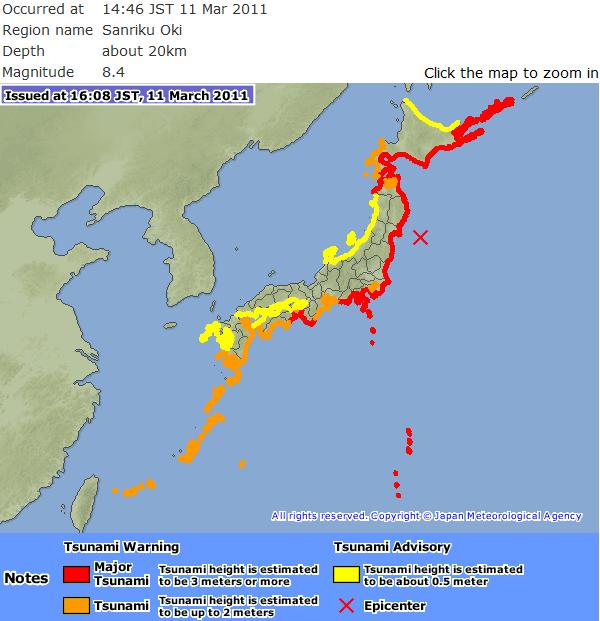 [Tsumami warning from Japan Meteorological Agency]
Update: It has been 4 days after the event but the tragedy is not over yet… thousands of people still missing, regional areas running out of water, food petrol and survivors threatened by radiation from damaged nuclear power plants… Simply no words to express adequately the sadness and my sympathy to all those affected by the earthquake and the resulting tsunami.
The world’s GIS community has contributed a lot of resources to depicts the events on the maps for all those searching details on the event. A few examples are presented below for information.
Links to more maps:
Google Crisis Response
Animated timeline: main earthquake and aftershocks (in HTML5)
New York Times: Tsunami propagation map
New York Times: Interactive maps with counts of dead and missing persons, building damage
Washington Post: Earthquake in Japan interactive map
New York Times: Forecast for Plume's Path
No comments:
Post a Comment