Once again, thanks to Stefan at Ogle Earth for posting it. To see it for yourself, simply load this KMZ file
 to view it in Google Earth.
Be sure to see our previous post if you'd just like to see Osama bin Laden's compound in Google Earth.
If you're curious, GeoEye had this to say about the new imagery:
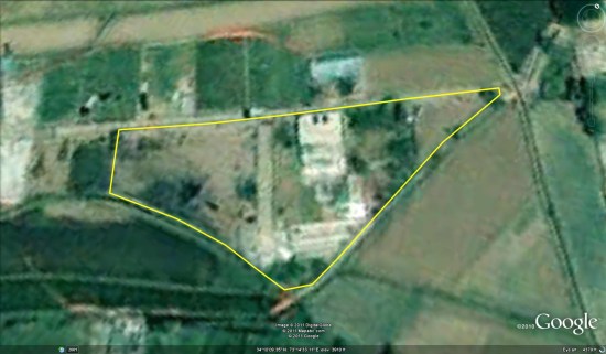
This one-meter resolution image shows a walled compound in Abbottabad, Pakistan. According to news reports Abbottabad is the town where Osama bin Laden was killed by U.S. forces. The image was collected by the IKONOS satellite on May 2, 2011 at 10:51 a.m. local time while flying 423 miles above the Earth at an average speed of 17,000 mph, or four miles per second.
No comments:
Post a Comment