The Google Crisis Response team has assembled a collection of flood data including satellite imagery for impacted cities along the river from GeoEye, flood extent and crest data forecasts from the US Army Corps of Engineers (kml) and NOAA’s National Weather Service (kml), and shelter locations from the American Red Cross (kml).
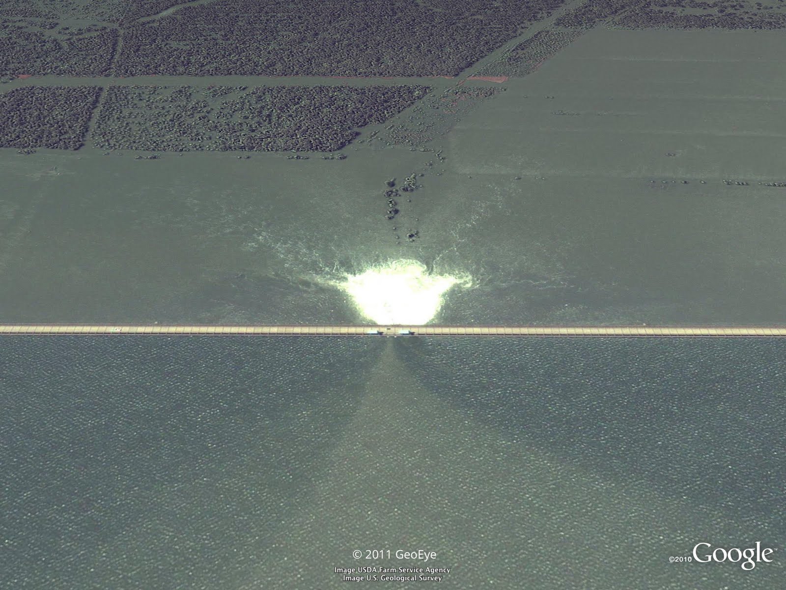
Opened floodgate in Morganza spillway in Louisiana on May 15, 2011. View full-size.
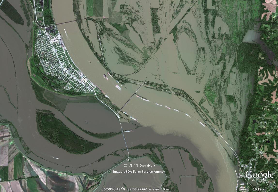
Cairo, Illinois on May 8, 2011. View full-size.
This collection of data is available on Google Maps by searching for “Mississippi flooding.” These data can also be accessed within Google Earth by turning on the ‘Places’ layer and flying to the Mississippi river south of Memphis, TN, or by downloading this kml
No comments:
Post a Comment